Why Invest in Real Estate Survey Flights in Montana?
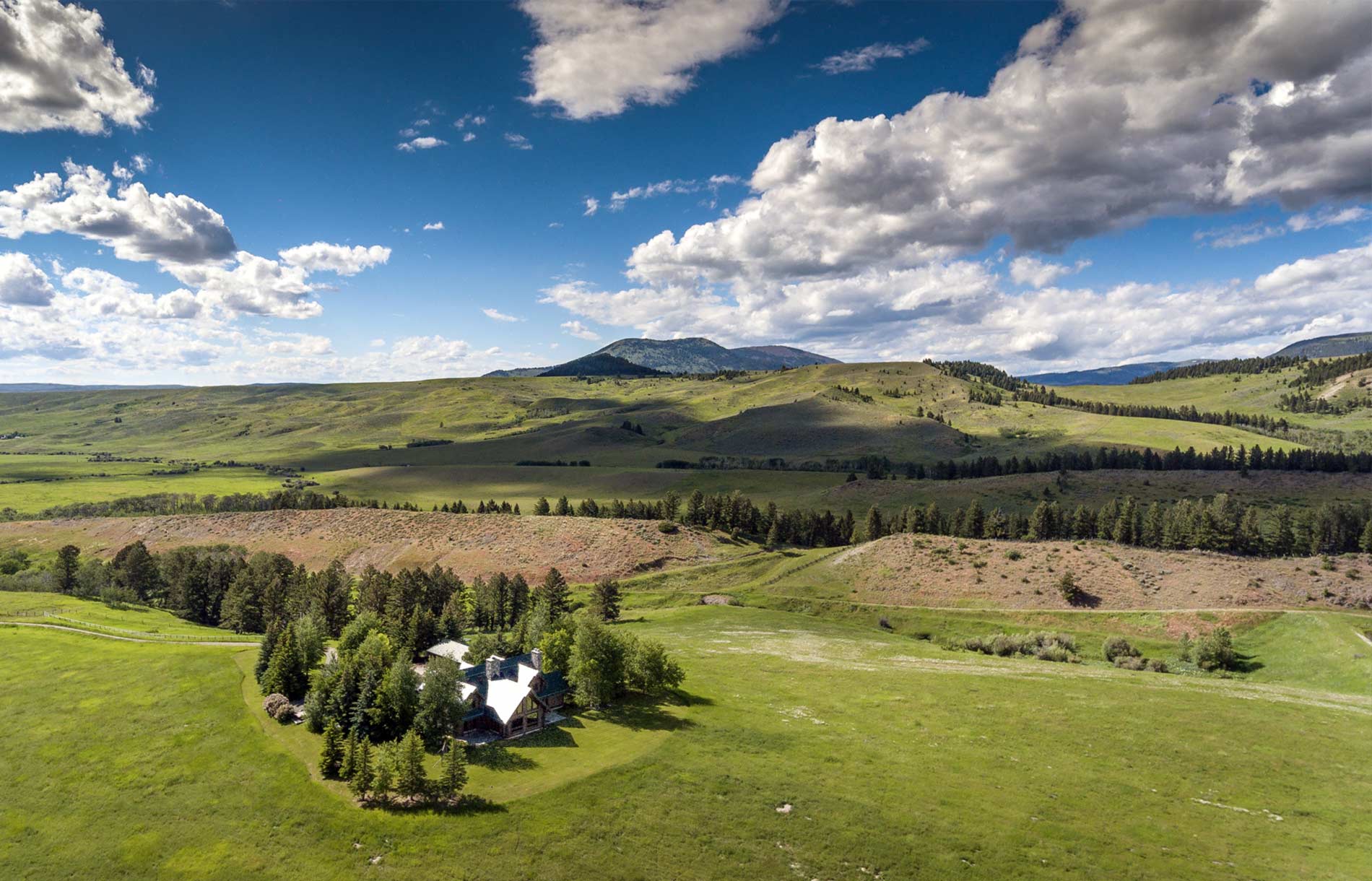
You’ve just invested in some spectacular real estate, and you’ve got great plans for it, whether you plan to build something on it or to leave it be for a bit while you think about it. No matter what your plans are and how many times you’ve seen the land from the ground, it’s never a bad idea to see the land from a different angle—more specifically, from above.
From above, you can see the real estate as a whole and it’ll give you ideas with what to do with the land if you haven’t already made up your mind. Finally, there are also some legal aspects of the land that might be good to look at from above. The following are some more specific reasons to invest in real estate survey flights in Montana:
Boundary lines
Before you do anything to your real estate, it is best to know where your property line is and where it ends, as well as any other lines of possession. Many times, neighbors operate under the incorrect understanding of where the line is drawn between their properties—seeing it from the sky will fill you in on any misinterpretations before they become an issue.
In addition to where that line is drawn, you will also be able to see ponds, lakes, rivers or streams that are close to the adjoining property, and you’ll be able to see more clearly what body of water belongs to whom. The boundary line will become much clearer, and you’ll be able to take a mental picture of where it lies before you build or do anything else to your property. With real estate, it’s best to leave your neighbor alone.
Who has the right of way?
With property lines in mind, there can be some questionable areas where neighbors aren’t exactly sure if it’s their land or your land. On a survey flight, you’ll be able to see the conditions imposed by law on your boundary lines.
For example, if part of your property blocks your neighbor’s access to the road, he or she will probably be able to lawfully walk on your property to get to the road. In addition, a survey flight will be able to clear up who has the ability to leave and enter a public roadway if it infringes on someone’s property and if that roadway should only be used for a specific purpose, like for emergency vehicles or act as driveways for tenants.
Zoning
Before you make any final plans about what you’re doing to your new property, taking a survey flight to be informed of your zoning laws is best. Zoning laws put restrictions on how you can use your property. Some real estate is used for residential use only, while some areas allow light industrial use. A survey basically reports your zoning jurisdiction and classification. It’s best to make sure this is clear before you make any big plans.
As you become more aware of what you’d like to do with your land after your survey flight, it’s good to talk to a lawyer to make sure you’re in line with all legal ramifications of your real estate survey. For real estate survey flights in Montana, visit Rocky Mountain Rotors.
Categorised in: Real Estate Survey