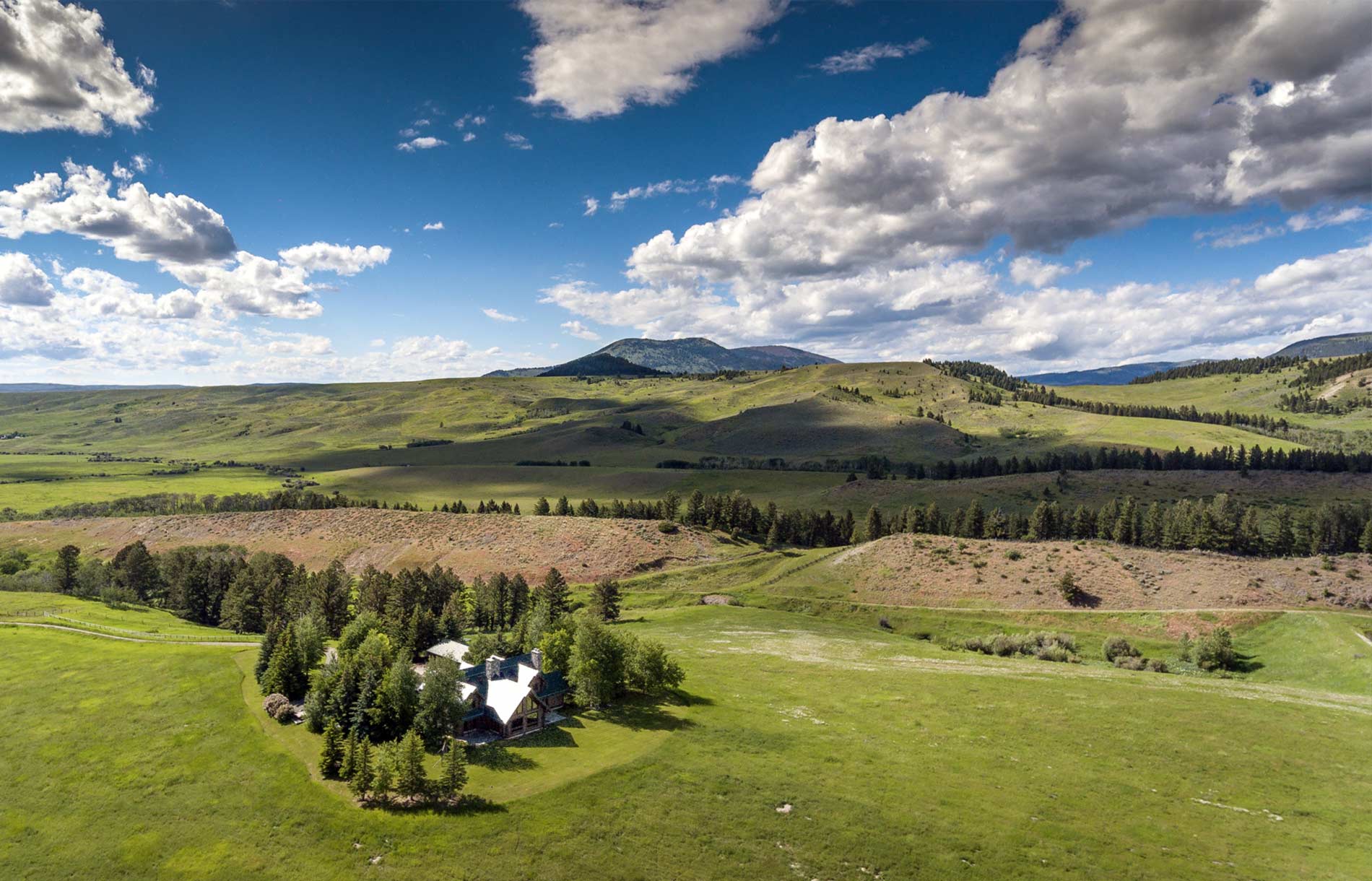
Four Reasons to Look Into Real Estate Survey Flights in Montana
Our helicopters can be used for a variety of reasons besides enjoying breathtaking tours of the beautiful Rocky Mountains. One of the most popular services we offer our customers are real estate survey flights in Montana. There are many advantages to using a helicopter to survey a large piece of land. For example, flight surveys are less time consuming than walking around a piece of property, and can also provide more accurate measurements. Here are a few of the reasons customers choose us to get a bird’s eye view of properties:
- Site progress management: Anyone in the real estate industry knows that developing a plot of land can take a really long time. This, of course, depends on the size of the land parcel and the project being developed on the site. If you’re developing several structures on a large piece of land—for example, building a new neighborhood—monitoring the area’s progress from the ground can be nearly impossible. You’ll need to check it out from the sky to really get a feel for how the project is coming along. Our certified helicopter pilots will fly you around the site for as long as you need to take photos and inspect your land.
- Marketing purposes: It should come ad no surprise that the end goal of developing a piece of land is to sell the properties and make money. That can be tricky if you don’t have all of the right tools to market your new development. Showing potential buyers renderings of the site can work, but customers really love to see actual photos of what they’d be buying. Snapping photos from above during real estate survey flights in Montana can do wonders to improve your business. Take photos on a regular basis to show future residents how your project is coming along!
- Large-scale measurements: Accurately measuring an undeveloped parcel of land is one of the first steps in building. Unfortunately, getting the right measurements from the ground can be difficult if you don’t have a big team to do the job. Cut your employee overhead and ensure you’re getting the right measurements by taking a survey flight. Advances in technology have also made it easier than ever to get small-scale measurements from the air, as well. There’s no need to ever painstakingly walk around a property ever again.
- Damage assessment: Hopefully the property you own never sustains any damage from a natural disaster, but if it does, you’ll need to know exactly what’s damaged on the land and the extent of the destruction. Take a survey flight to quickly check how badly the area was damaged, and start making a plan for fixing it.
Real estate survey flights in Montana are the easiest way to assess a difficult or sizable property. Give Rocky Mountain Rotors a call today to learn more about survey flights and how they can benefit your business. Be sure to also ask about other great services we offer, like helicopter tours and flight classes!
Categorised in: Real Estate Survey